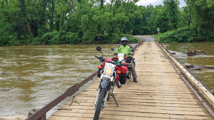
“Seven, not three.”
I was saying in my helmet as we paddled knee deep across what turned out to be the last water crossing. The preview clip taken in a different season had shown only three water crossings, with riders happily splashing across what was no more than a wet spot in the trail, only a tiny spray from the tires visible for the camera.
After seven of them, my boots were full of water.
Jay Smythe and I left central Kentucky in early June on our Yamaha XT250s riding to Damascus, Virginia, where the Mid-Atlantic Backcountry Discovery Route in the eastern U.S. would begin. Our old GPS wasn’t happy out in the woods, so using BDR’s maps and dead reckoning, we found our way along the first bits of the trail high up into the mountains. At one point we stopped near a cabin where a woman was cleaning a deck. Seeing us poring over the map, she asked, “Are you guys following that trail?”
When we said yes, she smiled, “We see you fellows up here all the time,” pointing us to the next turn.
Lots of wildlife up here, deer, rabbits, groundhogs and one black bear, curious about these strangely dressed critters invading their space, but we were worth only a moment of their time before they went back to the business of survival.
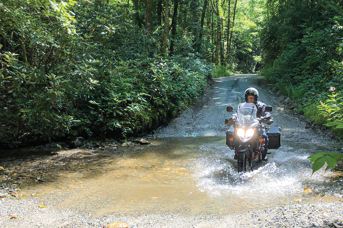
The Wyrick Trail, a rough gravel and dirt track, took us high onto a ridge overlooking a wide green valley. Though the map indicated there were towns nearby, from the ridge top there was no sign out there that civilization ever had intruded on these woods.
Nearing the end of the day, we came out onto pavement and found a gas station near what the map showed as a turn back up into the woods. The numbers on the road sign didn’t match, so we asked a local who was getting in his pickup about the discrepancy. He was perfect, as if central casting had received an order for “older farmer in overalls, with heavy Southern accent” and supplied him for this scene where he encounters the lost protagonists.
He scratched his head through his ball cap, looked us over carefully, then opined that he couldn’t see why in the world we would want to go up that “road,” even though it did, he admitted, go to the destination we had inquired about. He stared at his shoes, shook his head, told us which turn to take, and then slowly got into his truck from which he watched us wheel around and head for the trail. I’d like to hear what he told the guys down at the store about us.
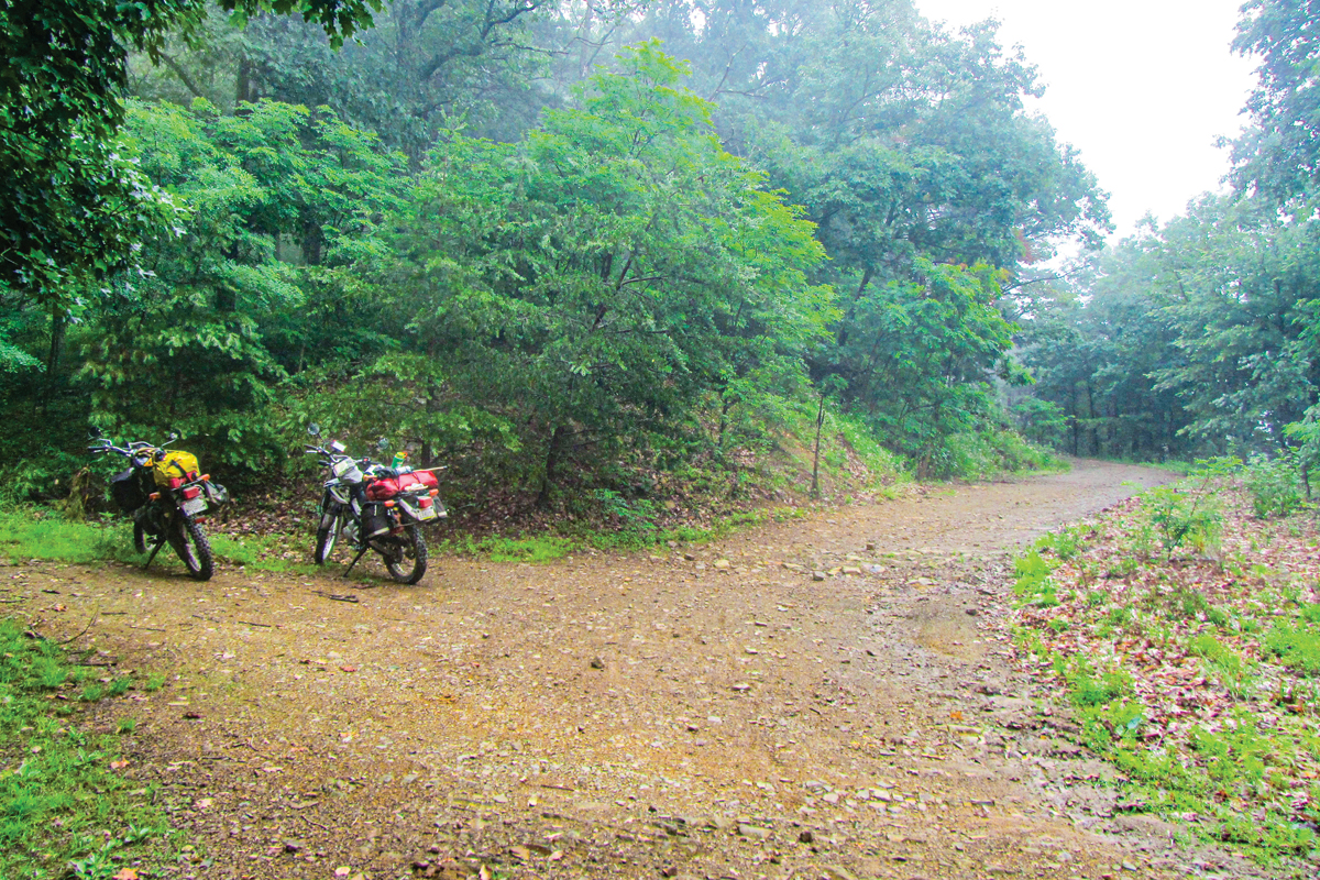
After a few miles of standing on the pegs on the steadily rising path, we began to doubt our directions and as if on cue, there was a wooden board with hand painted wording proclaiming that the Woods Hole B&B and Hostel was up a side road. We detoured up to the collection of rustic cabins on a hillside where an eclectic mix of residents were gathered on a porch. They confirmed we were on the right track, noting that if we couldn’t make it to our destination, they knew of a homeless shelter in Newport where we could stay for the night.
Sixteen dirt and gravel miles later the track ended at Route 100, where our map showed it continuing across the other side — but it didn’t. We opted to spend the night at the Mountain Lake Lodge in West Virginia a few miles away.
This lodge was one of the settings for the movie “Dirty Dancing” back in the 1980s and still has memorabilia displayed for the faithful who return to relive the experience of seeing the film. Since Smythe and I are among the 12 people in the world who have not seen the movie, much of that was lost on us, but it was a pleasant place to stay. The desk clerk looked us over and gave us a cabin well away from the regular tourists in the main building, rustic but comfortable. The restaurant was excellent, offering trout with roasted Brussels sprouts and hash browns, washed down with a very good local porter, dark and smooth with just a hint of some coffee notes in the finish.
In the morning, we took the road from our cabin around the lake and straight on to the dirt path the BDR prescribed. From there, nearly all of it was off pavement, with lots of trees forming a canopy over the trails that meandered along the ridges. Yesterday’s rain and the frequent showers today, left the surface mostly mud, but so well mixed with rocks that traction was not a problem.
Even on the downhill sections, we were able to keep up a second or third gear pace, while I wondered just what a rider on a 600-pound, loaded 1200cc adventure bike would be doing right about now. There were several long uphill sections, steep, rocky, and a bit slippery that would have been challenging on anything much bigger than these bikes. In my 50s I took heavy adventure bikes up high, rutted, pipeline hills in eastern Kentucky, impressed by how they handled the climb — then realizing that I had to get the big beast back down. I made it unscathed, but it wasn’t pretty. Now, 20 years later, this 250 seems more suited to the task.
Our second bear spotting came today, with the furry critter, probably a relatively new edition, running hard from the woods on one side of the trail to the other. From its speed, it is easy to see why they say you can’t outrun the bear.
We have encountered numerous turkeys, in flocks by the side of the trail and in one case, a large one who exploded from the brush right beside me, launching itself into the air in front of my face, struggling for enough altitude to avoid collision. The bird and I were both grateful for its success. Several deer have wandered across our path, on two occasions accompanied by spotted fawns delicately picking their way exactly in momma’s footsteps. Momma kept an eye on us, the fawns looked only at her.
The 79 miles of section two were completed as the steady rain began by mid-afternoon in Covington, Virginia. We took a late lunch at Cucci’s Italian restaurant where the thoughtful waitress put us in a distant booth so our sopping rain gear wouldn’t create a hazard for other diners.
Section three, the longest one at 193 miles, started just a few blocks away on a narrow blacktop road that quickly became dirt just a mile or two out of town, heading up into the mountains. The rain, which had thoughtfully paused while we ate lunch, returned and kept us and the trail dampened for the remainder of the day. We managed only a few miles before turning in for the night at the Warm Springs Inn at, no surprise, Warm Springs Virginia.
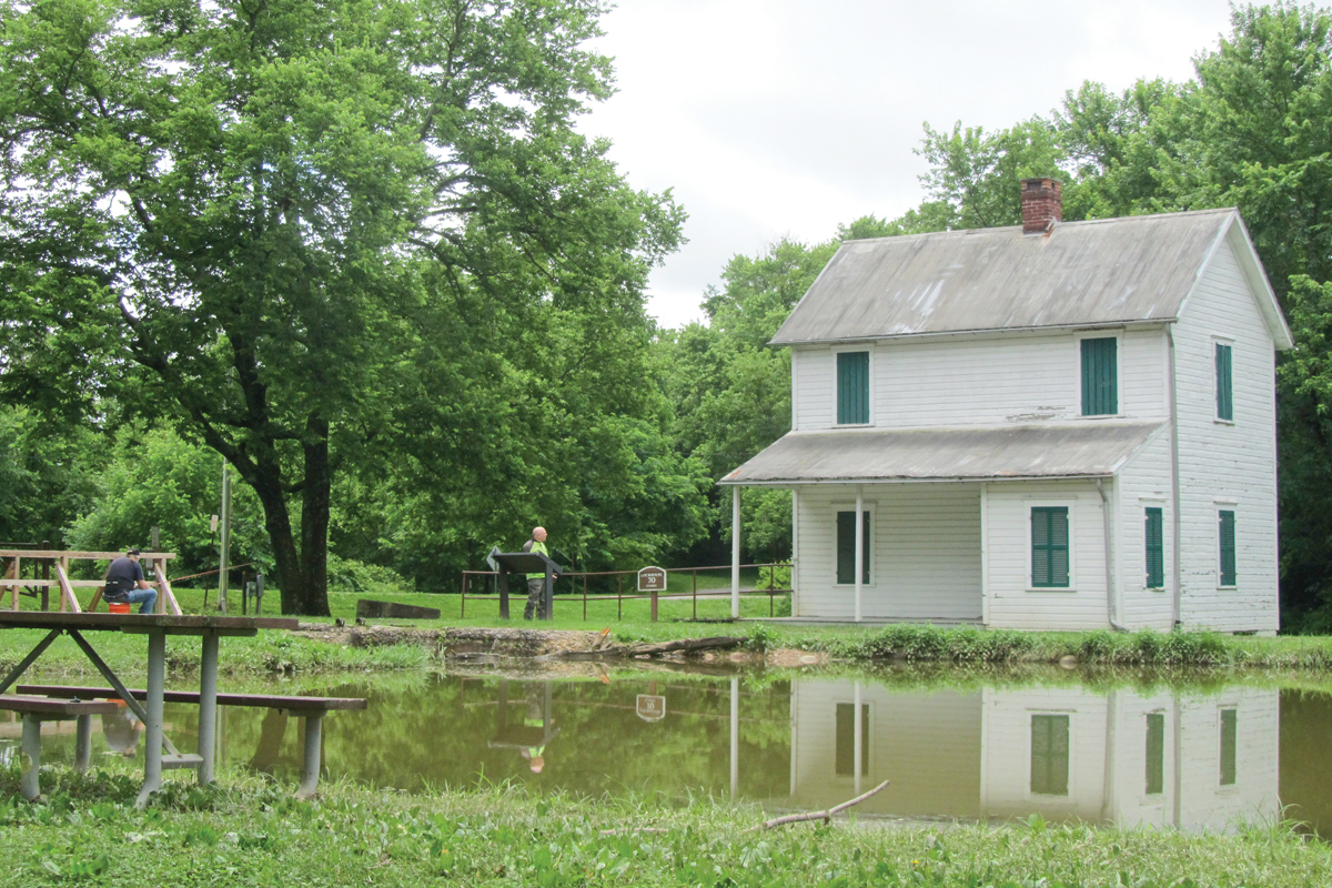
The inn is a former Colonial-era courthouse, now converted to a lodging and restaurant with the bar in the former clerk’s office, complete with the old vault that once held important records. They tell us that Thomas Jefferson frequented the hot mineral baths here to treat his rheumatism. If we had known what the next day would bring, we would have soaked in them ourselves.
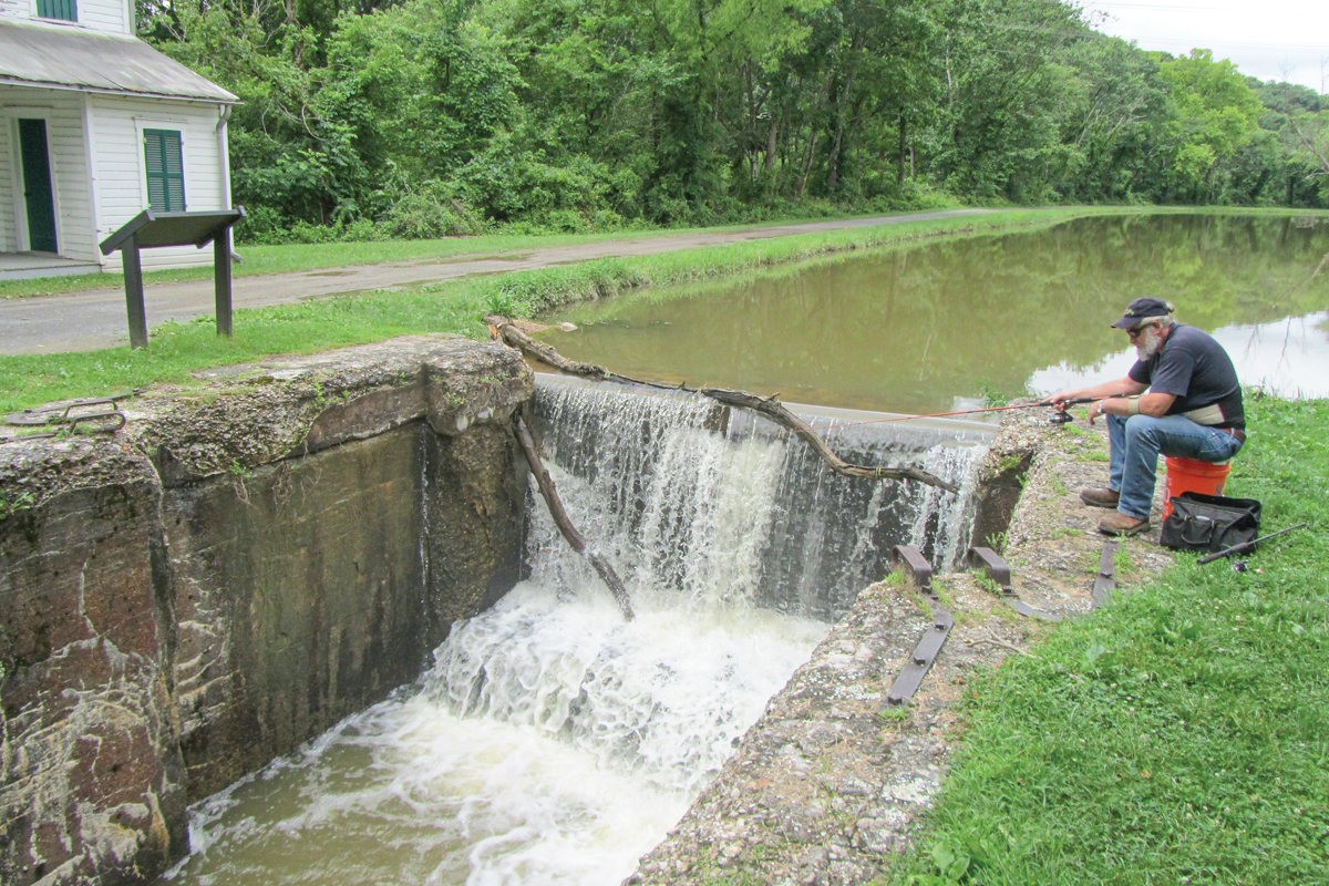
There was more rain overnight, but we were able to start out in a brief period of dry weather. A short bit of pavement, then back on to the mud pathways leading high into the mountains. This is the kind of thing we came for, endless twisting trails with views of mountains and valleys at every summit, riding that was technical enough to hold one’s attention but still not too challenging for our old bodies to take.
Until we came to the water.
The trail ended rather unceremoniously as we came around a turn to face a rushing river, complete with whitecaps. It was about 60-feet wide and of a depth we couldn’t immediately discern. There were rocks, big rocks, on the approach, leading us to believe it wouldn’t be any more hospitable under the water. Still, on the clip we had viewed, the crossings looked simple and surely it couldn’t be THAT deep even with all this rain, could it?
So I went in. The much younger me would have kept feet on the pegs, leaned back and gassed it to splash across. The septuagenarian me is much more cognizant of what can go wrong and the consequences of old bones hitting rock. Abandoning any hint of style or ego, I put both feet down and went slowly into the current. Within a few feet, the water was well over the tops of my boots, filling them completely, and licking the bottom of the engine’s cylinder. No choice now but to keep on and soon I was on the other side, looking back at Smythe who was contemplating which of us was the crazier, me for going in not knowing what I’d find or him for now going in knowing how bad it was.
His bike stalled in the water requiring the two of us to wade through the torrent to push and pull it out. It took only a minute or two to dry the spark plug and get the bike going again and then another few for us to convince ourselves that this must be the worst one of the three that were predicted and going back wasn’t a good option. The first notion was very wrong.
The spring storms that brought the rain also left a few fallen trees across the trail, some of which required some branch removal to clear a space big enough for the bikes to fit through. There were long uphills and descents that kept us up on the pegs in our soaked boots and provided plenty of moments to say bad words inside our helmets. It was late afternoon when we emerged from the woods to the road that led to a town.
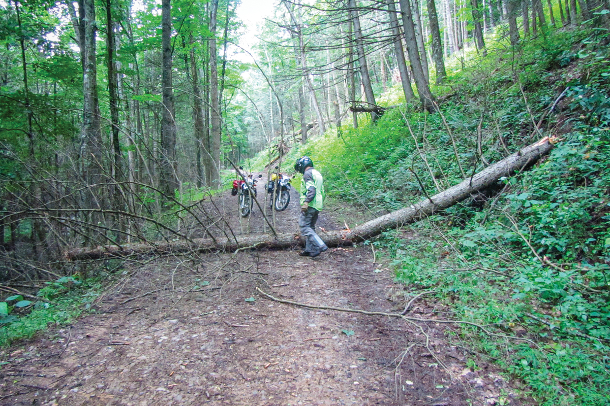
We met a young man going in, riding a BMW 450X, and stopped him to warn of the fallen trees and water. He smiled and pointed to the SUV following him and said they were his support vehicle, complete with chainsaw and winch to remove such inconveniences as trees. We realized that we had utterly failed to consider including such things in our trip planning.
The GPS, no doubt in “protection mode” to keep two overmatched old geezers from committing further folly, refused at this point to give us any directions. We put it in “time out” to consider its disloyalty and used the paper map to set off in the downpour to find lodging for the night. We were beyond tired, weary to the point of near incoherence, soaking wet inside and out.
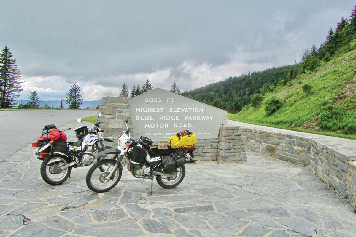
In Petersburg, Virginia, we found an interesting motel with a vacancy and the amused proprietor of a nearby Chinese take-out restaurant helped these dripping customers load an amazing amount of food onto two motorcycles for dinner in our room. Being sophisticated diners, we stopped into a gas station for a bottle of their finest red wine as accompaniment.
Things always look better in the morning and a bit of sunshine and blue sky gave us all the optimism we needed. After way too much breakfast at the Sunset Restaurant, we filled our tanks and set off on the next route. Section 4 is shaped like a carpenter’s square and is mostly tiny paved roads in the countryside, working its way perilously close to the Washington, D.C., area.
The squiggly black lines on the map were a welcome relief after the previous day’s travails, (we still had our wet boots as a reminder) and the 250s ate up the miles easily, swinging back and forth through the tree lined lanes.
On this route is the Old Town Low Water Bridge, one of the very few private toll bridges still operating in the U.S., requiring a 50 cent fee to cross the Potomac River from West Virginia into Maryland. The wooden structure, first erected in 1937, was barely above the fast-moving water as we made our way to the tiny toll shack on the other side. A tin cup on a long handle comes out, the change clinks inside and a voice from the booth says “Thanks! You’ve just made my day!”
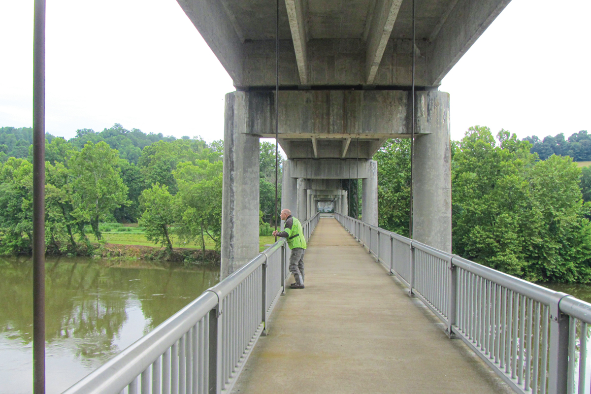
By late afternoon we had finished the section in Shepardstown, Maryland, and stopped at a church to take advantage of their outdoor pavilion to spread out maps and figure out our next move.
Smythe had a prior obligation that required him to be home in a few days and we could see that the next sections would take us high into Pennsylvania and would necessitate taking major roads on a forced march back to Kentucky. Since we were now only a few miles from Front Royal, the beginning of the Skyline Drive (and a motel we knew was across the street from a fine brewpub) we elected to shelve the BDR for later completion and head south.
We will come back.


